 81 °F
81 °F
Listen
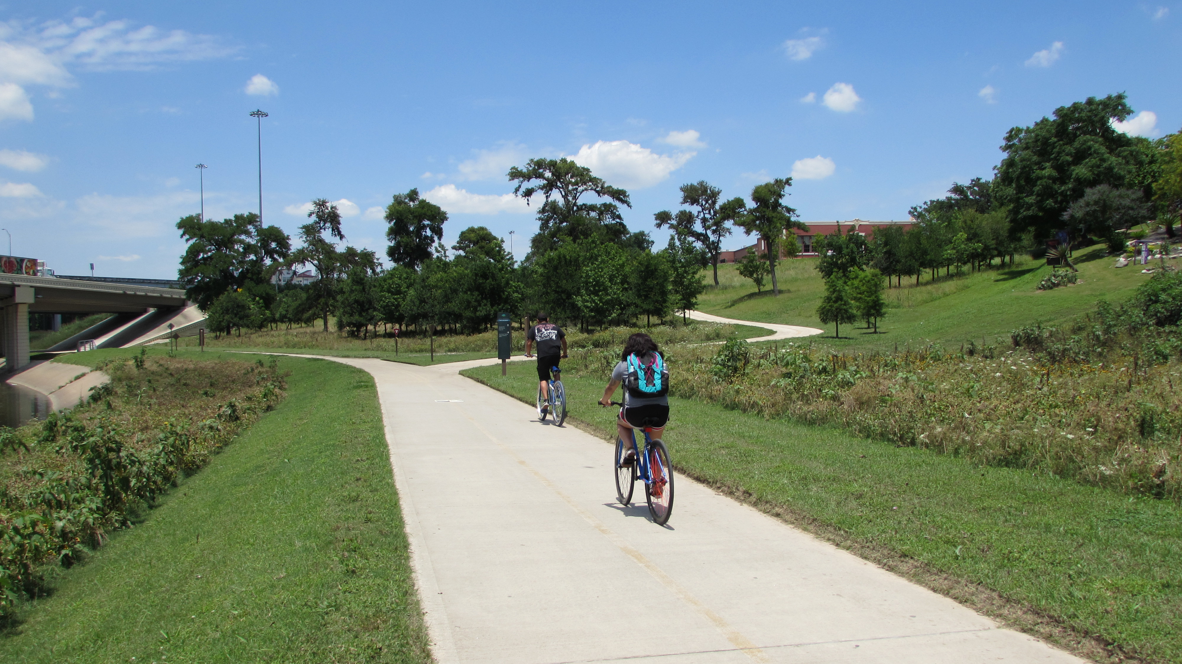
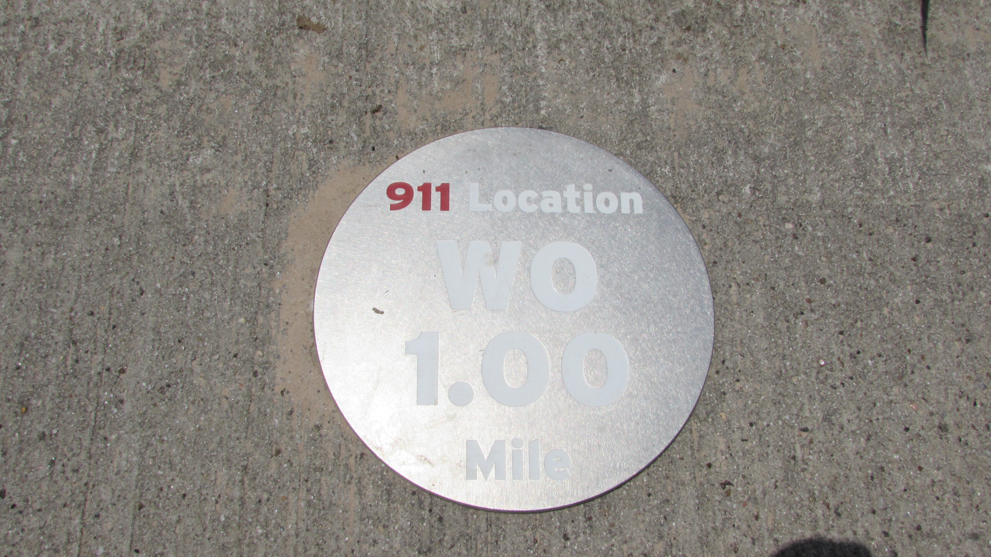
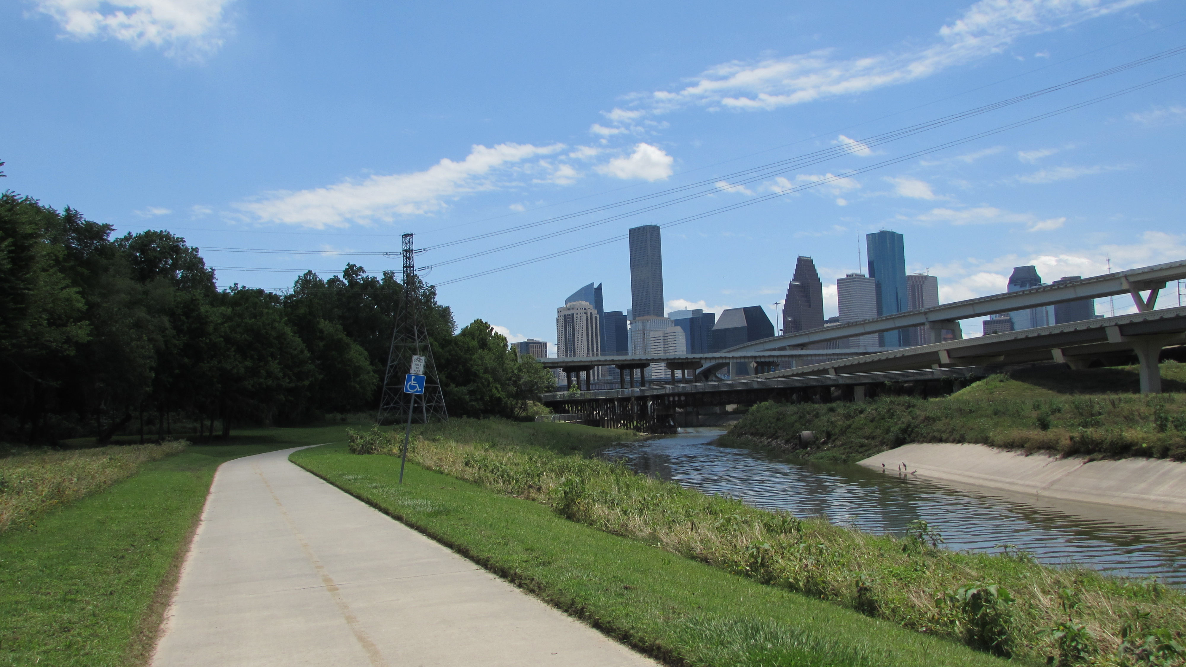
If you walk or cycle on the White Oak Bayou trail and happen to look down, you might notice silver discs that have been placed every quarter of a mile.
They’re part of an initiative to increase safety for those using the trail.
"The mile markers are a bigger part of the wayfinding system for Bayou Greenways in general," said Houston Parks Board’s Nicole Romano, who we met at the Leonel Castillo Community Center in Near Northside. "They help runners or cyclists identify how long they're been exercising or where they are in regards to safety if they needed to report an incident or an emergency."
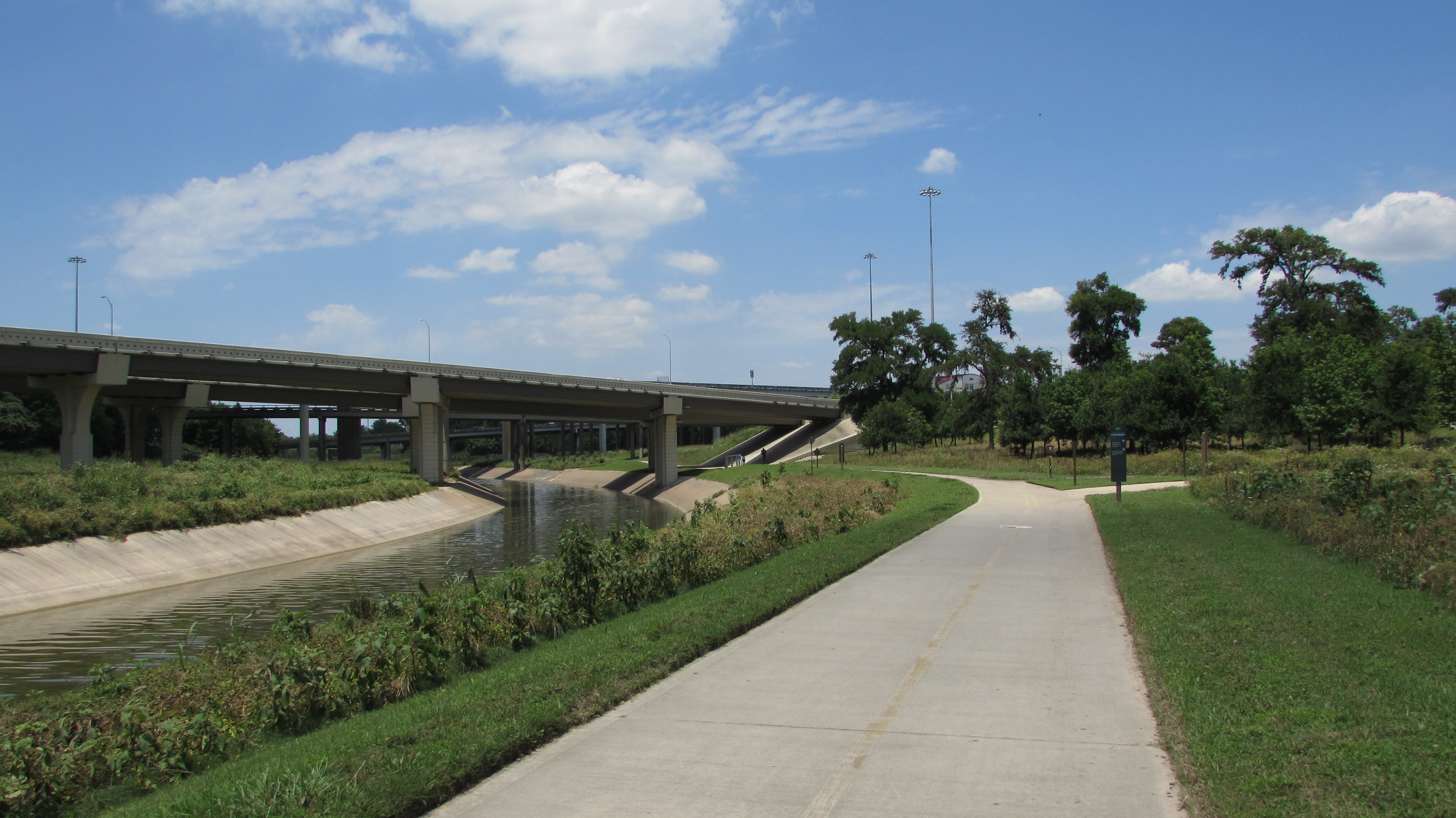
Romano said they placed the mile markers in partnership with the Houston Police Department and the Harris County Flood Control District. Considering parts of the trail system are somewhat remote, the markers will help police or EMS locate people in case of an emergency.
"There was an obvious need for making sure that people who use the greenways are safe and feel protected," said Romano. “Due to flooding it's hard to install lighting or structures along the bayou."
A total of 63 markers have been placed along the White Oak Trail. Romano said they’ll eventually be installed along all the greenways.
"It's part of the bigger wayfinding system for the whole initiative, for Bayou Greenways 2020," said Romano. "This is just the pilot program and it'll expand into all the other bayous as we get toward substantial completion."
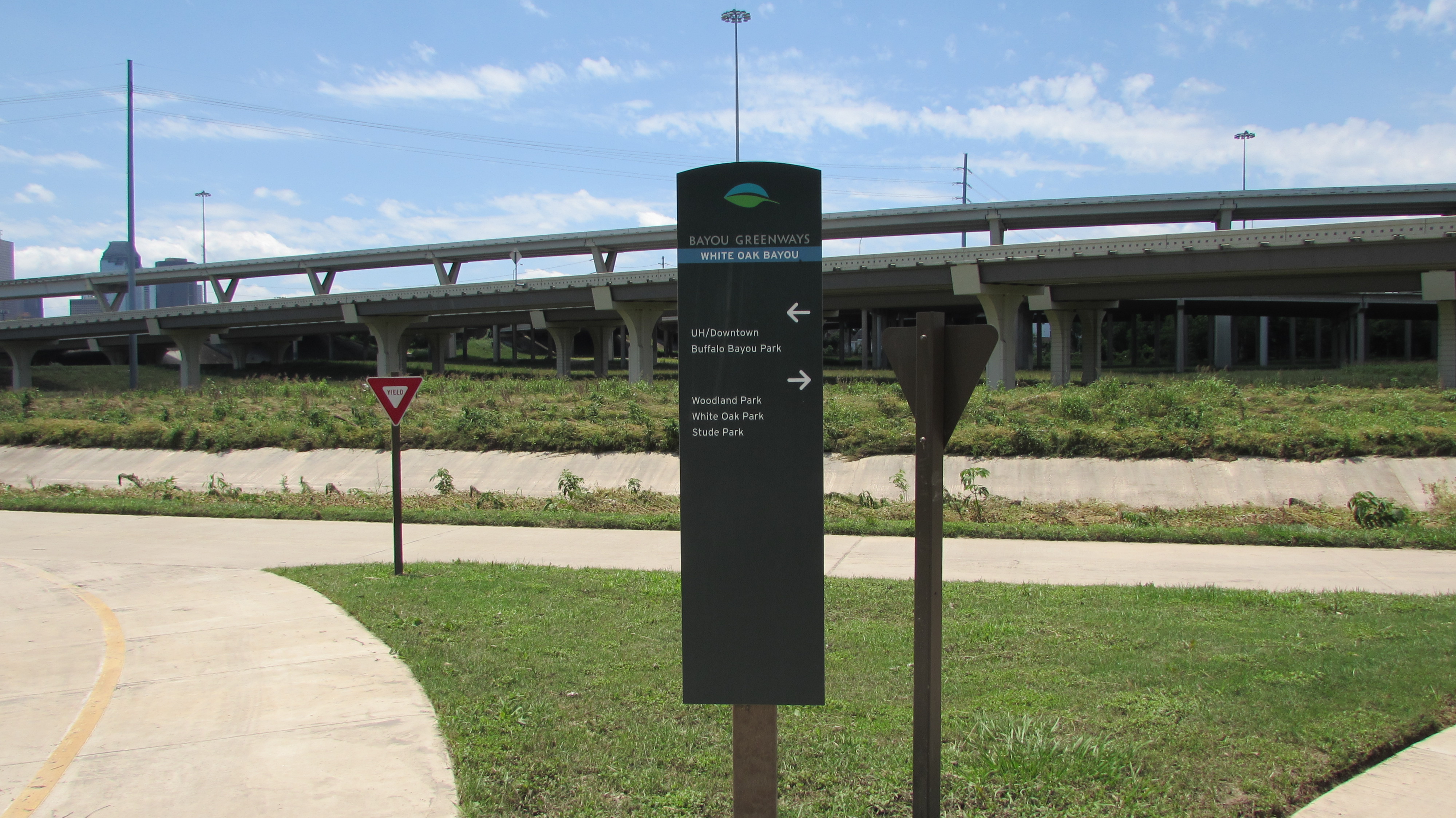
Bayou Greenways 2020 is a plan to link Houston's waterways with a 150-mile network of hiking and biking trails. The effort will also include 3,000 acres of linear park space.
The $220 million trail system was funded in part by a $100 million bond issue that Houston voters approved in 2012. The rest of the money is being raised through private donations and grants.
The Houston Parks Board says it's on track to substantially complete the project next year.